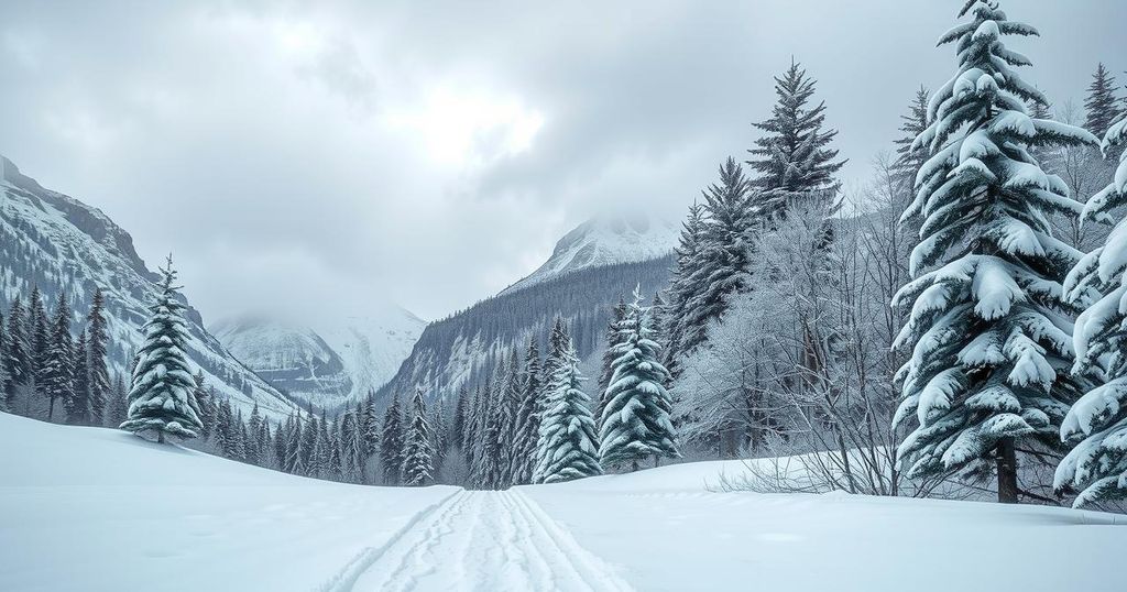
Heavy Snow Expected This Weekend in Glacier Park, Montana
Montana is expecting a dramatic change in weather this weekend, with heavy snow forecasted for Glacier National Park. Today was warm and clear across the state, but thunderstorms are anticipated before a low-pressure system brings much cooler temperatures and snow starting Saturday.
A chilly shift in weather is on the horizon for Montana this weekend, as heavy snow is anticipated in Glacier National Park. Although temperatures reached a pleasant 70s to 80s range across the state today, clear skies prevailed except for the far northeast, where a few thunderstorms were noted near the Canadian and North Dakota borders. Winds were generally mild, between 5 to 15 mph, with occasional gusts reaching 30 mph in places like Jordan. It was a lovely spring day, thanks to a high-pressure system influencing the region.
Starting tomorrow, Montana will experience a change in weather patterns. A moist southwest flow is expected to bring afternoon thunderstorms, particularly to the southwestern part of the state. Some of these storms could potentially reach strong levels, so residents and visitors should remain vigilant. On Friday, most areas will see a renewed chance for showers and the possibility of vigorous storms extending across a broader region.
A low-pressure trough developing near Seattle is set to deepen this weekend, resulting in significantly cooler weather for western Montana on Saturday and statewide conditions that may shift by Sunday. This change particularly concerns tourists planning to visit Glacier National Park, as heavy snow is forecasted. A winter storm watch will be active from Saturday afternoon through Sunday morning, with snowfall potentially accumulating to one foot at elevations above 6,000 feet, including Logan Pass. Expect around four inches of snow at elevations down to 4,000 feet.
Additionally, with this incoming low, heavy rain is also expected in northwest Montana, leading to totals between two to four inches especially in Flathead and Lincoln Counties. As temperatures drop tonight into the upper 40s and 50s, tomorrow will see highs ranging from mid-80s to mid-90s, a stark contrast to much cooler highs in the 50s and 60s forecasted for Sunday. This significant drop signals a very rapid turnaround in the weather.
In summary, Montana is bracing for a rapid change from warm spring weather to a winter storm, particularly evident in Glacier National Park. A winter storm watch is in effect as heavy snowfall is expected this weekend, following a brief period of thunderstorms and rainfall throughout the state. Tourists and residents alike should prepare for these dramatic weather shifts.
Original Source: www.montanarightnow.com


