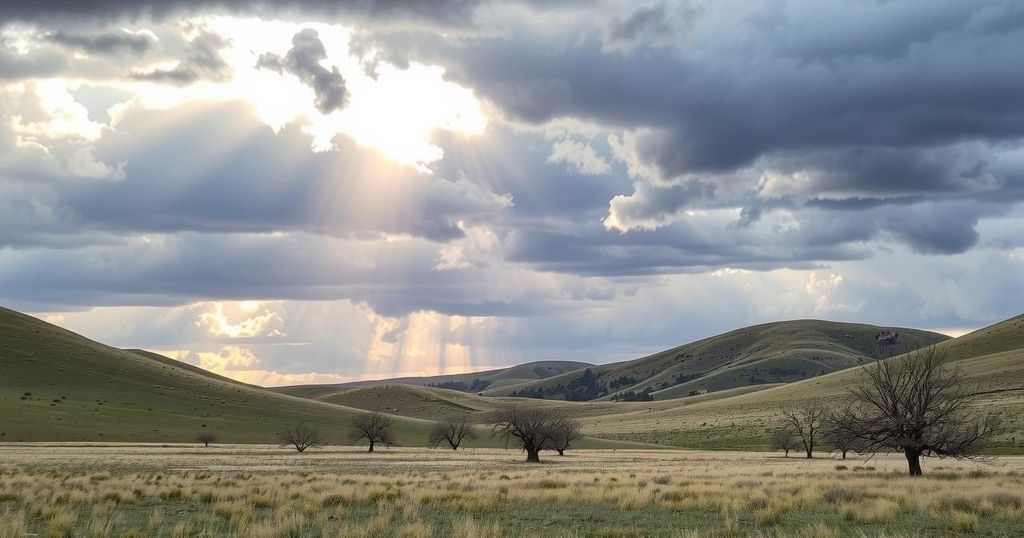
Montana and Wyoming Transition to Drying Weather and Slight Warming Trend
Montana and Wyoming are experiencing drying conditions and a slight warming trend. Recent moisture from rain and snow is giving way to varying daytime temperatures and afternoon thunderstorms. Upcoming forecasts predict more rain for certain areas mid-week, while warmer temperatures are expected towards the end of the week.
Montana and Wyoming are experiencing a transition in weather marked by drying conditions and a slight warming trend. Rain and early morning snow recently provided moisture across Montana and northern Wyoming, with thunderstorms persisting into the afternoon hours. Breezy conditions prevailed, especially in western areas, where wind gusts reached up to 25 mph, contributing to an overcast spring day.
Daytime temperatures have varied considerably, with highs generally in the 40s and 50s. The cities of Sheridan and Jordan boasted some of the mildest conditions, enjoying temperatures around the mid-50s, whereas Butte experienced cooler temperatures with lows in the 40s.
As the evening approached, radar showed a decrease in showers, indicating the possibility of morning sunshine for many areas. Another weather system is expected to move down from Canada, likely bringing afternoon rain to northern Montana. More rainfall is anticipated for southwestern and south-central regions on Wednesday.
Winds are forecasted to shift to the west, with gusts expected to reach 30 mph, gradually transitioning to calmer conditions later. Tonight’s temperatures are expected to drop into the 20s and 30s across the region, although warmer conditions may persist in the eastern parts. Tomorrow’s expected highs will closely resemble today’s, with a possibility of moderate warming.
Looking ahead, the northwest region is anticipated to remain dry over the upcoming week, though rain is predicted for the weekend. By Friday, temperatures may rise into the 70s. South-central and eastern areas are expected to benefit the most from rain mid-week. The outlook for the next 8-14 days suggests warmer than average temperatures alongside near-normal precipitation as April concludes and May commences.
In summary, Montana and Wyoming are transitioning into a period of drying weather and a slight warming trend. Recent moisture was punctuated by rain and snow, followed by varying daytime temperatures across the region. The forecast indicates the potential for more rain in selective areas, particularly mid-week, while a warmer outlook looms as April wraps up.
Original Source: www.montanarightnow.com


