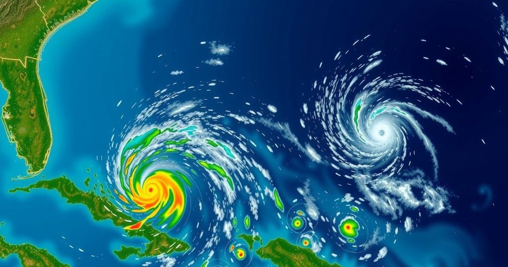
National Hurricane Center Updates: Invests 94L and 95L and Their Impact on Florida

The National Hurricane Center is tracking two invests, 94L and 95L, with no immediate threat to Florida expected. Invest 94L will mostly impact Puerto Rico and Hispaniola with heavy rains, while Invest 95L could affect Central America and Mexico. Overall, no significant development is predicted for Florida in the near future, with forecasters indicating that threats from the tropics may be limited through late October.
The National Hurricane Center (NHC) is currently monitoring two invests, 94L and 95L, neither of which poses a threat to Florida. Invest 94L, which had previously shown potential to develop into Tropical Storm Nadine, is expected to bring heavy rainfall to Puerto Rico and Hispaniola. Similarly, Invest 95L may develop into a short-lived tropical depression or Tropical Storm Nadine, likely impacting Central America and Mexico by Saturday. However, despite these developments, forecasts predict no significant tropical activities affecting Florida in the coming days, as recovery from recent hurricanes Helene and Milton continues. According to meteorologists from Colorado State University, there is a 50% chance of tropical development in the western Caribbean from October 15 to October 28, albeit with weak signals. They note that wind shear anomalies could be lower than average, potentially allowing for the formation of tropical cyclones, but long-term forecasts suggest that threats to the U.S. mainland remain minimal. Dr. Ryan Truchelut, Chief Meteorologist at WeatherTiger, emphasizes that while the current week is anticipated to be free from significant tropical threats, favorable atmospheric conditions could lead to further developments in late October to mid-November. As for the specifics on each invest, Invest 94L is moving west-northwest near Puerto Rico and is not expected to develop significantly due to strong upper-level winds, thus exhibiting a low formation chance through the next week. In contrast, Invest 95L is exhibiting better organization pattern and shows a 70% chance of development in the next 48 hours. It is primarily expected to impact regions like Belize and the Yucatan Peninsula with heavy rainfall, regardless of further development.
The article discusses the current situation in the Atlantic tropics, particularly emphasizing the monitoring of two invests, 94L and 95L, by the National Hurricane Center (NHC). Invests are areas of unsettled weather being investigated for potential tropical cyclone development. The article outlines the expected impacts of these invests on locations like Puerto Rico, Hispaniola, Central America, and Mexico while simultaneously reassuring readers that Florida is not currently at risk. It also touches on broader forecasts for the Caribbean and provides historical context regarding late-season hurricanes in Florida. This context helps readers understand the likelihood of development and regional impacts based on meteorological patterns that are prevalent during the hurricane season.
In summary, while the National Hurricane Center is observing both Invest 94L and Invest 95L, neither are currently presenting a direct threat to Florida. With expected impacts from these invests primarily affecting areas in the Caribbean and Central America, Florida residents can remain hopeful for continued stability in their own weather conditions. Meteorological predictions suggest limited tropical threat potential for the upcoming weeks, though monitoring will continue as conditions evolve.
Original Source: www.palmbeachpost.com


