Monitoring Invests 94L and 95L: Tropical Threats to Florida Minimized

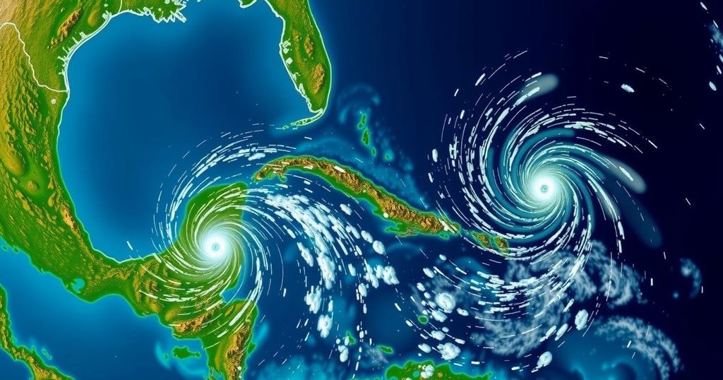
The National Hurricane Center is monitoring Invests 94L and 95L, neither of which currently threatens Florida. Invest 94L may impact Puerto Rico and Hispaniola with rain, while Invest 95L could affect Central America and Mexico. No significant tropical development is expected over the next ten days, although a 50% chance of late-month development exists in the western Caribbean.
The National Hurricane Center (NHC) is currently monitoring two invests, designated as Invest 94L and Invest 95L. Neither of these systems poses a direct threat to Florida at this time. Invest 94L has shown signs of development into Tropical Storm Nadine but is expected to primarily affect Puerto Rico and Hispaniola with heavy rainfall and flooding. Meanwhile, Invest 95L is also emerging, with the potential to develop into a short-lived tropical depression or storm, likely impacting Central America and Mexico by Saturday. In positive news for Florida residents recovering from Hurricanes Helene and Milton, the Colorado State University meteorologists report that no tropical formations are anticipated over the next ten days. The forecast suggests that the next named storms in the Atlantic will be Nadine and Oscar. While the potential for additional tropical development remains low for Invests 94L and 95L, meteorologists indicate a 50% chance of tropical development in the western Caribbean late in October. They note that conditions, including below-normal wind shear, could favor future cyclonic activity. However, Dr. Ryan Truchelut from WeatherTiger emphasized that the imminent future appears free of tropical threats for the continental United States, at least for the next week and a half, while more favorable weather conditions could arise between late October and mid-November.
The Atlantic hurricane season, which spans from June 1 to November 30, sees its peak activity around mid-August to mid-October. Recent observations reveal two invests currently being tracked by the National Hurricane Center; these are localized systems of low pressure under investigation for potential development into tropical storms. Invests are given numerical designations starting from 90 to 99, followed by letters that denote their respective ocean basins. The significance of monitoring these invests arises from their potential to develop into more formidable tropical cyclones.
In conclusion, while Florida remains safe from immediate threats posed by Invests 94L and 95L, meteorologists continue to monitor the tropics closely. No significant developments are projected in the upcoming days, but attention will remain on weather patterns in the Caribbean as the hurricane season progresses. It is essential for residents to stay informed about any potential changes as the months carry on.
Original Source: www.news-journalonline.com


