Tropical Cyclone Zelia Approaches Australia: Anticipations and Risks
Tropical Cyclone Zelia is expected to make landfall on the northwest coast of Australia, particularly affecting Port Hedland. The Bureau of Meteorology predicts extremely hazardous conditions, with sustained winds up to 205 km/h and gusts potentially reaching 290 km/h. This category five cyclone highlights the increasing severity of storms linked to climate change, prompting discussions about a potential category six. Residents should prepare for significant damage, particularly along the coast and into inland communities.
Severe Tropical Cyclone Zelia is approaching the northwest coast of Australia, with expectations of landfall on Friday evening. This formidable storm poses significant risk to Western Australia, particularly Port Hedland, the largest town in the area and a crucial iron ore export port. The cyclone may impact other regions along the coast and places such as Marble Bar, Tom Price, and Paraburdoo further inland.
Regardless of whether Zelia makes direct landfall in populated areas, damage is anticipated due to the Bureau of Meteorology’s forecast of perilous sustained winds reaching around 205 kilometers per hour and wind gusts exceeding 290 kilometers per hour. Such intense winds have the potential to devastate homes, uproot trees, and disrupt power lines and infrastructure.
Being categorized as a category five cyclone, Zelia represents the most severe classification available currently. However, as the effects of climate change intensify, there may be a need to introduce a sixth category to more accurately represent the increasing severity of such storms. This concern is echoed by experts who highlight alarming global conditions.
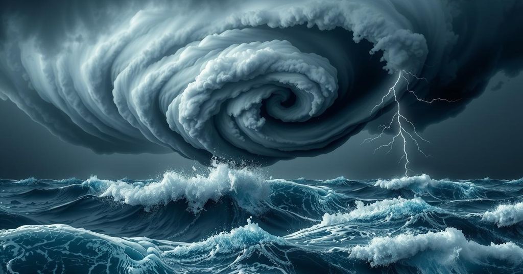
The classification system for tropical cyclones, including hurricanes and typhoons, ranges from category one, which is the weakest, to category five, the strongest. Each category is assigned based on sustained wind speeds and potential damage, with extreme conditions imposed by category five cyclones defining them as “extremely dangerous.” As climate change elevates ocean temperatures and alters atmospheric conditions, the frequency and intensity of cyclones are expected to rise.
While it remains uncertain if Cyclone Zelia’s occurrence is a direct result of climate change, research over the past three decades establishes a correlation between global warming and the severity of tropical cyclones. With rising sea surface temperatures—recorded this summer at up to 4-5 degrees Celsius above normal—cyclones are now forming in more hazardous conditions, such as seen previously with Hurricane Milton.
Moreover, climate change has been implicated in reducing the forward motion of tropical cyclones, resulting in prolonged periods of wind and rain. Cyclone Zelia’s forward speed is recorded at a slow 11 kilometers per hour, suggesting significant rainfall and destructive winds will persist for extended hours both before and after landfall, causing greater disruptions.
Currently, winds around Port Hedland are measuring between 70 and 100 kilometers per hour, characterized as gale force but not alarming. However, conditions are expected to deteriorate quickly as the cyclone approaches. Already, rainfall has led to localized flooding, affecting rail lines, and further rainfall is anticipated.
Additionally, the Bureau of Meteorology warns of a considerable storm surge that may bring sea levels above normal tide levels, risking coastal flooding. While the cyclone is expected to weaken as it moves inland over the weekend, communities further inland may still face heavy rains, strong winds, and flooding.
Regular updates from the Bureau of Meteorology can be accessed online. Residents in affected areas should refer to the Emergency WA website or download the Emergency WA app for the latest alerts and warnings.
Tropical Cyclone Zelia is set to impact Western Australia significantly, with predictions of destructive winds and heavy rainfall that could cause extensive damage. As a category five storm, its presence could necessitate reconsideration of current cyclone classification systems due to climate change influences. Communities are urged to stay informed and prepared as the cyclone approaches and moves inland.
Original Source: theconversation.com