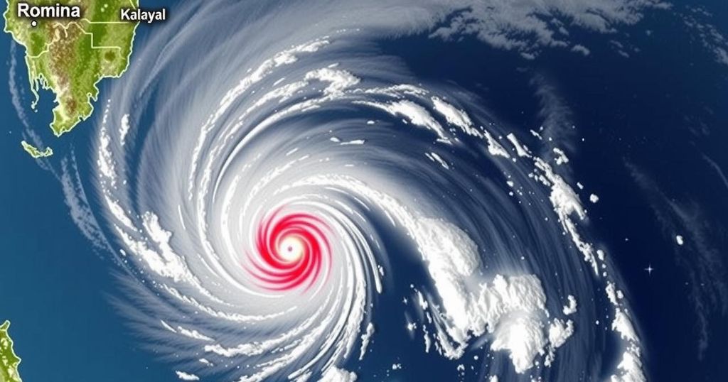
Tropical Cyclone Wind Signal No. 1 Issued in Kalayaan Islands as Tropical Depression Romina Approaches

PAGASA raised Tropical Cyclone Wind Signal No. 1 for the Kalayaan Islands as Tropical Depression Romina entered the Philippine Area of Responsibility. With maximum sustained winds of 55 kph and gusts up to 70 kph, mariners are advised to seek shelter due to hazardous sea conditions. Romina is projected to intensify temporarily before weakening in the coming days.
The Philippine Atmospheric, Geophysical and Astronomical Services Administration (PAGASA) has issued Tropical Cyclone Wind Signal No. 1 for the Kalayaan Islands as Tropical Depression Romina enters the Philippine Area of Responsibility on December 22. As of 11 a.m., Romina was located 365 kilometers south of Pag-asa Island, moving at 30 kilometers per hour, with maximum sustained winds of 55 kilometers per hour near the center and gusts of up to 70 kilometers per hour.
Wind Signal No. 1 indicates potential minimal to minor impacts from strong winds, especially in coastal and upland areas. These regions may experience stronger wind conditions than their more sheltered counterparts. Should Romina intensify, it is anticipated that the wind signal could reach level two.
PAGASA also reported hazards for coastal waters, with wave heights of up to 4.5 meters expected in the Batanes, Babuyan Islands, Ilocos Norte, and Kalayaan Islands regions. Mariners are strongly advised to remain docked or seek immediate shelter if they are already at sea. Other areas affected by rough sea conditions include various coastal zones across the northern and eastern Philippines, with wave heights up to 4.0 meters in some regions. Caution is urged for those operating smaller vessels in areas experiencing wave heights between 2.0 to 2.5 meters.
Currently, Romina is forecast to move north-northeast before turning to a north-northwest and then west-northwest trajectory, anticipated to pass near the southern Kalayaan Islands within 24 hours. Although it may momentarily strengthen into a tropical storm, it is expected to weaken back to a tropical depression thereafter.
This report outlines the weather conditions associated with Tropical Depression Romina as it enters the Philippine Area of Responsibility. The issuance of Tropical Cyclone Wind Signal No. 1 indicates early warnings for potential wind-related impacts, particularly in exposed coastal areas. It also includes details on expected wave heights in affected regions and advisories for maritime activities. Understanding these forecasts is crucial for public safety and preparedness. The role of PAGASA is fundamental in monitoring tropical systems and providing timely warnings to the public, thereby minimizing risks associated with severe weather. The report serves as a vital communication to ensure local residents, mariners, and other stakeholders are well-informed about ongoing weather conditions and advisories.
In conclusion, the entry of Tropical Depression Romina into the Philippine Area of Responsibility has warranted the issuance of Tropical Cyclone Wind Signal No. 1 for the Kalayaan Islands, with potential wind hazards and elevated wave heights in the coastal areas. Mariners are advised to take necessary precautions, and the public should remain vigilant as the storm approaches. Continuous monitoring and updates from PAGASA will be imperative as the situation develops.
Original Source: www.philstar.com


