Tropical Cyclone Bheki: Impact and Forecast for Mauritius and Réunion

Tropical Cyclone Bheki passed near Mauritius and Réunion on November 21, 2024, with sustained winds of 74 km/h and moderate rain. As of November 22, the cyclone showed unpredictable developments influenced by regional weather patterns. It initially peaked as the strongest November tropical cyclone on record in the basin but is forecasted to weaken due to adverse conditions. Moderate rains are expected in the affected areas through November 25.
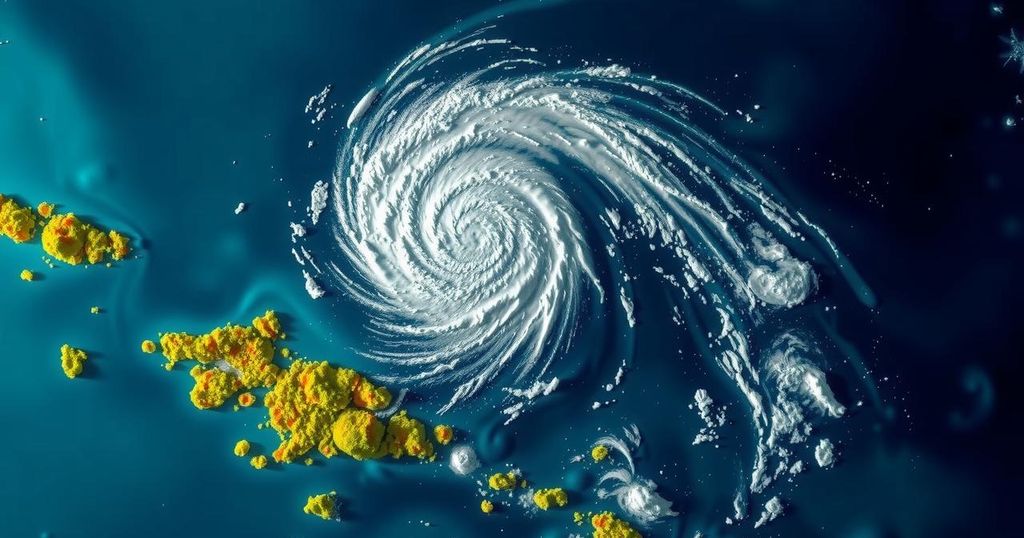
On November 21, 2024, Tropical Cyclone Bheki passed near the islands of Mauritius and Réunion, exhibiting maximum sustained winds of 74 km/h (46 mph) and delivering moderate rainfall. As of 09:00 UTC on November 22, the storm experienced a stall southwest of La Réunion Island, influenced by the local terrain, yet began to shift and resume a southwest trajectory as it approached the Mascarene High. Satellite imagery revealed a resurgence of convective activity, indicating potential for further development of the cyclone.
Despite this, the cyclone’s future remains uncertain due to the presence of unfavorable environmental factors such as drier air and a departing jet stream, leading to predictions of weakening to below 65 km/h (40 mph) within 24 hours. Numerical weather models differ in forecasts; the HWRF model anticipates temporary strengthening to 83 km/h (52 mph), while the HAFS-A model projects stability for a brief period before a swift decline in strength.
Bheki, having formed on November 14, rapidly intensified, achieving record status as the strongest November tropical cyclone in the South-West Indian Ocean based on wind speeds. The storm is expected to bring moderate rain to Mauritius through November 22 and Réunion between November 22 and 25, reinforcing its impact on the region.
Tropical Cyclone Bheki is currently significant within the 2024/25 South-West Indian Ocean Cyclone season, being the second named storm. Its development commenced on November 14, rapidly intensifying to become an intense category storm by November 18. The geographical positioning of the cyclone relative to Mauritius and Réunion has implications for weather patterns, highlighting the complex dynamics of coastal weather phenomena influenced by regional geographical features, including the Mascarene High and local terrain. The cyclone has generated moderate rainfall typical of cyclonic activity, underscoring the importance of understanding storm behavior for regional preparedness and response. The variations in model predictions regarding its strength further illuminate the unpredictability inherent in cyclone forecasting, necessitating continuous monitoring and evaluation by meteorological agencies.
In conclusion, Tropical Cyclone Bheki has exhibited notable activity near Mauritius and Réunion, with its strength and trajectory subject to environmental influences. While there is potential for temporary strengthening, forecasts indicate a looming weakening phase as drier conditions set in. Bheki’s rapid development earlier in the season illustrates the importance of diligent monitoring by meteorologists and the relevance of such storms in affecting local weather patterns. Thus, thorough preparedness measures are vital for the affected populations.
Original Source: watchers.news


