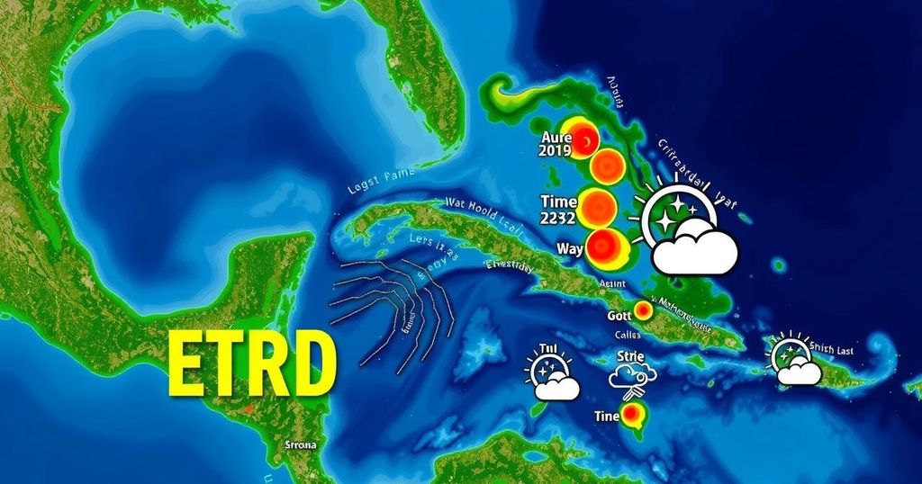
Florida’s November Tropical Outlook: An Area of Interest in the Caribbean

As of mid-November, an area of interest in the Caribbean holds an 80% chance of developing into a tropical storm named Sara. Favorable conditions for cyclonic development exist despite the seasonal decline typically observed at this time. Monitoring of atmospheric systems will be necessary as Floridians prepare for potential impacts in the coming days, especially as multiple weather fronts are anticipated to influence the storm’s development and path.
As November progresses, the National Hurricane Center has identified an area of interest in the tropics that carries an 80% likelihood of developing into a cyclone within the next week. The impending storm is set to be named Sara, following the dissipation of Rafael in the central Gulf of Mexico, prior to any landfall. Current conditions in the Caribbean appear conducive for tropical development, a phenomenon typically unexpected for this time of year. The Caribbean Sea is experiencing favorable conditions, providing an opportunity for tropical features to initiate development. Primarily, significant large-scale forcing is within range to support such formations. Water temperatures, both at the surface and subsurface levels, remain sufficient for cyclone development, raising pertinent discussions about the potential path this disturbance might take Floridians should prepare for the possibility of tropical activity shifting northward into the state as various atmospheric mechanisms push this disturbance along. The approach of multiple fronts may enhance local conditions, aiding in the adjustment of the storm’s path. Following these frontal passages, high-pressure systems are anticipated to steer the disturbance initially towards the north and west, before stalling as atmospheric pressure systems within the southeastern Atlantic weaken. Subsequently, a more powerful cold front might further influence the cyclone’s trajectory, yet this presents a complicated situation. The timing and intensity of these weather systems will substantially affect the forecast of the developing feature. While the potential for a storm affecting Florida is plausible, it is critical to understand that this projection is still about ten days distant and subject to various atmospheric fluctuations. As one monitors this evolving tropical situation, it is advised to remain vigilant. The existing weather patterns and the confidence exhibited in model predictions indicate that this disturbance warrants attention from residents across Florida and the Southeast as we advance into the coming days. While hurricane season officially concludes on December 1, the current environment suggests a continued interest in tropical developments.
In the context of tropical meteorology, Florida often experiences heightened activity during the hurricane season, which lasts from June 1 to November 30. However, analyses by meteorological institutes, such as the National Hurricane Center, highlight that tropical disturbances can still emerge well into November. This year, significant atmospheric conditions in the Caribbean raise the potential for further cyclonic developments, which is pivotal for residents to anticipate and prepare for possible impacts in the days ahead.
In conclusion, the presence of an area of interest in the Caribbean indicates that there is a considerable chance of tropical cyclone development this November. Given favorable oceanic and atmospheric conditions, Floridians should remain alert and prepared for potential changes in this disturbance’s trajectory. The upcoming days will be crucial for precise forecasts as atmospheric dynamics unfold, emphasizing the importance of staying informed during this transitional period of hurricane season.
Original Source: www.clickorlando.com


