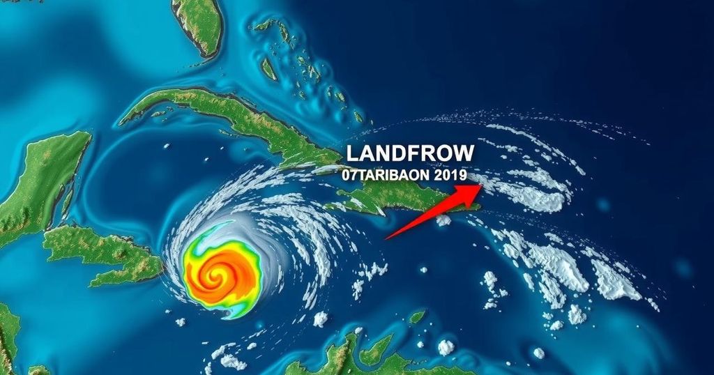
Monitoring the Possible Developments of Invest 95L and Invest 94L in the Caribbean

Brian Norcross is observing Invest 95L as it approaches landfall. The disturbance may briefly develop into Tropical Storm Nadine before reaching Belize. A separate system, Invest 94L, poses minor risks, primarily for flooding in mountainous regions. Residents of the Florida East Coast need to prepare for high tides due to the Hunter’s Supermoon.
Brian Norcross is closely monitoring the situation regarding Invest 95L, a tropical disturbance located near the coasts of Nicaragua and Honduras, as it approaches landfall tomorrow. Current forecasts suggest that while it may not intensify significantly, it has the potential to become Tropical Storm Nadine just prior to landfall. Updates indicate that the system is projected to move westwards along the northern coastline of Honduras and subsequently towards Belize and the Yucatán Peninsula this evening. According to the National Hurricane Center, there is a medium likelihood of the system developing into a tropical depression or storm before impacting the vicinity of Belize early tomorrow. The most potent winds associated with this disturbance are situated north of its center, suggesting that areas north of the projected landfall zone will experience the strongest gusts, currently estimated at speeds between 30 to 35 mph, with the possibility of slight increases before landfall. Residents along the northern coast of Honduras, in Belize, and in the Mexican state of Quintana Roo, particularly around Chetumal, are advised to remain vigilant as the system could intensify unexpectedly just prior to making landfall. Peak effects are anticipated to commence overnight and last into the next day, further exacerbated by an incoming cold front expected to create breezy conditions along the coastline. In a separate development, the National Hurricane Center has also identified another tropical disturbance dubbed Invest 94L, which is traversing the waters just north of Puerto Rico and the Virgin Islands today. This system will likely continue westward towards Haiti or the southeastern Bahamas by tomorrow, with expectations of dissipating by Sunday due to adverse upper wind conditions. Forecast models currently indicate minimal chances of organization for Invest 94L, although it may lead to increased moisture over mountainous regions, raising the risk of flooding and mudslides. Notably, neither system poses a threat to Florida or the southeastern United States, benefiting from a favorable jet stream pattern that should provide adequate protection throughout the month. Furthermore, residents along the East Coast of Florida are cautioned about elevated tide levels leading up to the weekend correlating with the Hunter’s Supermoon, which is likely to result in King Tides, compounded by persistent coastal winds that would further elevate tides. Individuals are advised against traversing areas prone to high tide flooding, as saltwater exposure can damage vehicles.
The article addresses the imminent impacts of two tropical disturbances officially classified as Invest 95L and Invest 94L. Invest 95L is being monitored due to its potential to strengthen into Tropical Storm Nadine just before landfall on the coasts of Belize and Mexico. The article elaborates on the projected path and the expected weather impacts in the affected regions, while also highlighting the lack of threat to Florida and the southeastern U.S. Meanwhile, Invest 94L poses minimal development chances and is likely to dissipate shortly, yet carries risks of flooding in mountainous areas of Puerto Rico and the Virgin Islands. The article emphasizes the weather phenomena of King Tides resulting from the Hunter’s Supermoon, which pose additional risks along the Florida East Coast.
In summary, Invest 95L is poised for a possible landfall as Tropical Storm Nadine along the northern coast of Central America, with monitoring advised for residents in Belize and the Yucatán Peninsula. While Invest 94L shows low potential for development, its movement may still cause flooding in mountainous regions. Moreover, high tides driven by the Hunter’s Supermoon require caution for individuals along Florida’s East Coast. Overall, the situation emphasizes the necessity for preparedness and vigilance in the face of changing weather conditions.
Original Source: www.foxweather.com


