Current Trends in Tropical Cyclone Activity: Atlantic and Indian Ocean Perspectives

The Atlantic has witnessed a decrease in storm activity, with low chances of creating named storms from current disturbances. Hurricane Milton may be the last named storm for October. Conditions in early November may foster increased cyclone development. In the North Indian Ocean, favorable circumstances could lead to the formation of cyclones, driven by the weakening monsoon and MJO phases.
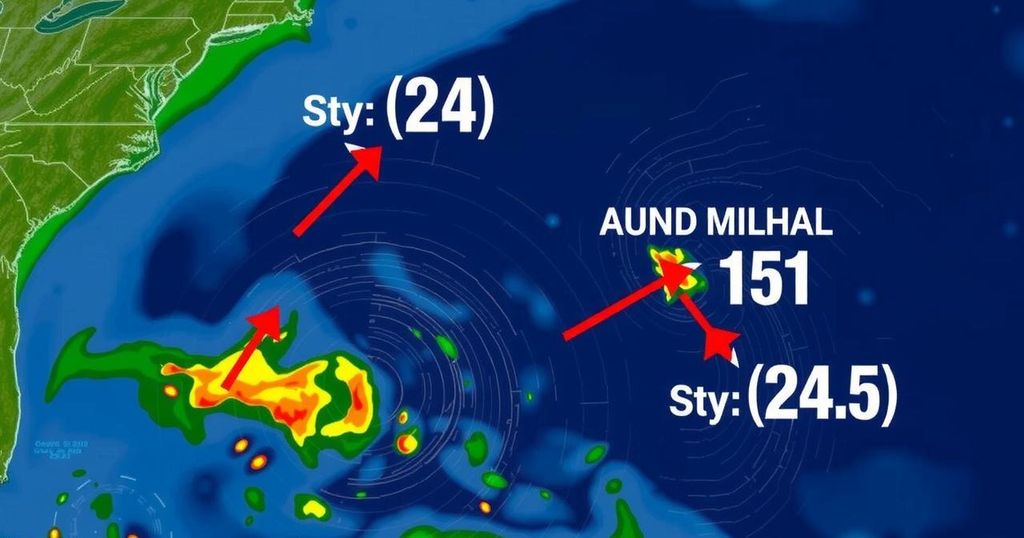
The tropical Atlantic has experienced a reduction in activity following a brief period of intense storminess earlier in October. Currently, two tropical disturbances are being monitored, but the likelihood of these evolving into named storms remains low. It appears that Hurricane Milton may mark the conclusion of named storms this month. Nevertheless, as the Madden-Julian Oscillation (MJO) is expected to influence the atmosphere positively in early November, there remains a potential for increased tropical cyclone activity later in the Atlantic hurricane season. One such disturbance, known as Invest 94L, is making progress toward the northern Leeward Islands, traveling westward at around 20 mph. Despite encountering light wind shear and extraordinarily warm ocean temperatures of 30 degrees Celsius (86°F), 94L is struggling due to a very dry atmospheric environment, which is limiting significant thunderstorm formation as evident from satellite imagery. Additionally, its rapid movement complicates the alignment of its upper-level and surface centers, while the prevailing MJO phase hinders development by favoring descending air over the Atlantic. Forecasts indicate that by Saturday, 94L will face major barriers to further development, including a wall of detrimental wind shear if it moves west-northwest towards Florida, or the mountainous terrain of Hispaniola if it heads west-southwest. The models are pessimistic about 94L’s chances of development, predicting its decline by Sunday. However, the disturbance could still cause localized heavy rainfall, with expectations of 1-2 inches (25-50 mm) across the Leeward Islands, the Virgin Islands, Puerto Rico, and the Dominican Republic over the weekend. The National Hurricane Center has estimated a 20% and 30% probability of development for 94L over the next two and seven days, respectively, with the next storm name being Nadine. In another system, a disturbance linked to a Central American Gyre is unlikely to develop into a tropical cyclone before making landfall. Located approximately 50 miles off Honduras’s northeast coast, this system is expected to move towards the Belize or Mexico coast, bringing significant rainfall but facing obstacles inhibiting its intensification. Current predictions indicate a 20% chance of this disturbance developing over the next week, primarily before it moves inland. Pockets of torrential rain may occur from southern and eastern Mexico to Belize, Guatemala, and Honduras, with potential accumulations exceeding 15-20 inches in certain areas, thereby raising the risks of flash floods and mudslides. In the North Indian Ocean, tropical cyclone activity is anticipated to intensify as the fall cyclone season approaches. With the monsoon in retreat, favorable conditions set up by the MJO could lead to the formation of tropical cyclones in the eastern Bay of Bengal next week. Models suggest that a cyclone may originate there, moving northwest or north. In reference to previous events, Cyclone Mocha, which struck Myanmar in May 2023, remains a significant reminder of the devastating potential of these storms, having caused widespread fatalities and substantial damage.
This article discusses the current state of tropical cyclone activity in the Atlantic and North Indian Ocean regions. The Atlantic has seen reduced storm activity after an early October peak, with current disturbances having low chances of becoming named storms. Key factors such as the Madden-Julian Oscillation, warm ocean temperatures, and atmospheric conditions influence the potential for tropical cyclone formation. The article highlights specific disturbances, such as Invest 94L and another system linked to a Central American Gyre, detailing their development prospects and potential impacts. Moreover, it mentions the forthcoming cyclone season in the North Indian Ocean, exacerbated by recent environmental patterns affecting storm activity.
In summary, the article elaborates on the current diminishing odds of tropical cyclone development in the Atlantic Ocean as we approach the end of October. Despite the unfavorable conditions facing disturbances like Invest 94L, there remains a possibility of increased activity as the MJO influences the region in early November. Meanwhile, significant rainfall is expected across parts of Central America from another disturbance. Additionally, the impending cyclone season in the North Indian Ocean should be closely monitored as conditions are becoming favorable for tropical cyclone formation.
Original Source: yaleclimateconnections.org


