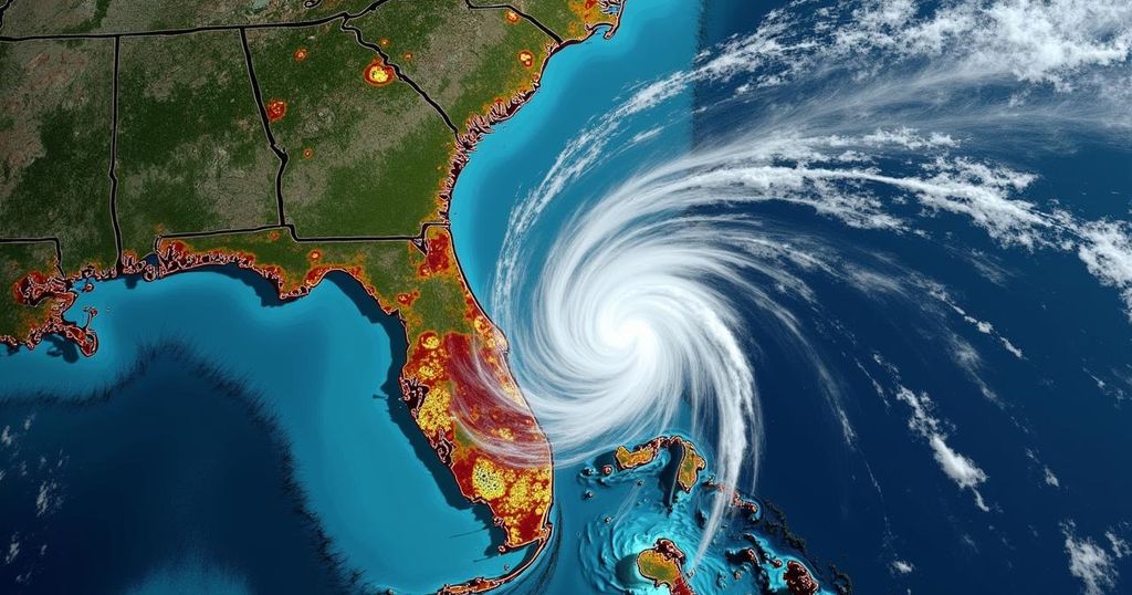
Monitoring Tropical Systems: Invest 94L and Potential Effects on Florida

The National Hurricane Center is closely observing two tropical systems, particularly Invest 94L and another system moving towards the Leeward Islands, with increased development chances. While conditions may improve for Invest 94L later in the week, potential risks to Florida are under consideration, moderated by geographical and atmospheric factors.
The National Hurricane Center is currently monitoring two atmospheric systems with potential for tropical development. The first system is forming in the western Caribbean, while the second is approaching the Leeward Islands from the Atlantic. Recent updates from meteorologists indicate that the second system, originating off the coast of Africa, has seen its chances for development rise to approximately 60% within the next week. AccuWeather has suggested that this system could escalate quickly, potentially becoming a tropical depression or even a hurricane as it moves towards the Leewards later this week. Meanwhile, a well-defined area of low pressure, designated as Invest 94L, is located over the central tropical Atlantic. Although its development prospects are currently low due to being embedded within a dry air environment, conditions are expected to improve as the system progresses westward. Given its trajectory, Invest 94L could pose a threat to the Leeward Islands by late this week. Despite concerns about potential impacts on Florida, meteorologists from AccuWeather are cautiously optimistic, citing two factors that could inhibit any significant tropical development affecting Florida: the presence of mountainous terrain in the northern Caribbean, which could disrupt any system that traverses land, and a complex weather pattern characterized by a high-pressure system over the southeastern United States. These conditions may steer any incoming storms away from the state.
The Atlantic hurricane season, which spans from June 1 to November 30, tends to see its peak around September 10. During this period, meteorological activity intensifies, particularly from mid-August through mid-October. The National Hurricane Center plays a crucial role in tracking and forecasting severe weather, issuing advisories and updates on systems that could threaten land. They utilize a variety of forecasting models to project the paths and potentials of tropical systems. As such, continuous monitoring is essential for residents in coastal areas, such as Florida, who must remain vigilant during the tropical season.
In summary, both Invest 94L and a system developing in the Caribbean present varying degrees of risk to Florida and surrounding regions as they progress through the week. While meteorologists are alerting the public to potential developments, there are also inhibiting factors that might mitigate their impact on the state. Residents should stay informed through reliable weather updates, particularly as the likelihood of tropical system formation increases.
Original Source: www.news-journalonline.com


