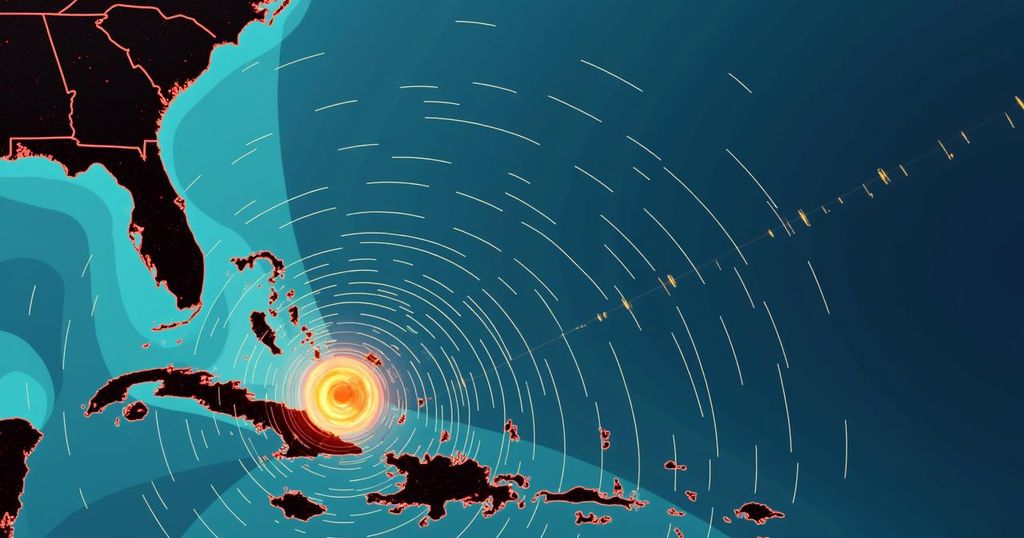
Hurricane Milton: Tracking the Storm’s Path and Impending Impact

Hurricane Milton is currently a Category 4 hurricane located in the Gulf of Mexico, expected to make landfall in western Florida. It follows Hurricane Helene and poses risks of heavy rainfall, flooding, and damaging winds across a broad area. Experts highlight the dangers associated with hurricanes and the necessity of effective preparations for potential impacts.
Hurricane Milton, which has recently developed in the Gulf of Mexico, is currently classified as a Category 4 hurricane, having been downgraded from Category 5 overnight. Forecasts indicate that this powerful storm is poised to make landfall in the western regions of the Florida peninsula, where it is expected to bring considerable rainfall, ocean surges, and damaging winds. As is often the case with such storms, significant impacts may be felt well beyond the immediate vicinity of the landfall, with the National Hurricane Center warning of potential flooding in Florida as heavy rains persist leading up to Milton’s expected arrival on Wednesday. Should Hurricane Milton maintain its current trajectory, it would indeed represent the second storm to land in Florida within a fortnight, following Hurricane Helene, which struck as a Category 4 hurricane and caused unprecedented storm surges along the Gulf Coast. The devastation left in Helene’s wake has been severe, with over 220 fatalities reported across its path extending from Florida to Virginia. In understanding hurricane formation and escalation, meteorologists from the National Hurricane Center closely monitor the wind speeds of tropical cyclones in the Atlantic. A storm is designated as a tropical storm upon reaching a wind speed of 39 mph for a minimum of one minute and is named accordingly. It becomes classified as a hurricane once it achieves sustained winds of 74 mph, continuing through the categories until reaching a maximum of Category 5. These classifications are crucial for prompting timely warnings regarding potential dangers associated with high winds, severe waves, torrential rains, and flooding that accompany landfall. The risks presented by tropical storm-force winds can be grave; winds from stronger hurricanes can obliterate structures and project debris at dangerous velocities. Furthermore, such winds are capable of driving seawater far inland, resulting in a phenomenon known as storm surge, which is recognized as the leading cause of hurricane-related fatalities in the United States, according to the National Weather Service. This increase in seawater levels is accompanied by hazardous swell waves, posing additional threats to lives and properties. As hurricanes progress inland, flash flooding becomes a critical concern. Cyclones can yield upwards of six inches of rain, overwhelming drainage systems and saturating the land, thereby precipitating severe flash floods that may persist for several days. Historically, the peak period for hurricane activity occurs around mid-September, and this season is projected to be potentially the most severe in decades, as noted by the National Oceanic and Atmospheric Administration. The agency forecasts 17 to 25 tropical storms for the year, with predictions of four to seven of these evolving into major hurricanes.
Hurricane Milton’s formation in the Gulf of Mexico highlights the cyclical nature and increasing intensity of hurricanes that have plagued the area during this season. The history of severe storms impacting Florida, particularly following the catastrophic Hurricane Helene, serves as a stark reminder of the potential dangers faced by coastal communities. Meteorological advancements in tracking and understanding hurricanes have improved forecasting and prepared communities for impending storms, although the unpredictability of nature remains a formidable challenge.
In summary, Hurricane Milton represents a significant atmospheric event, poised to impact Florida imminently with heavy rains and damaging winds. As this storm approaches, the potential for flooding and destruction remains high, echoing the catastrophic effects experienced from prior storms like Hurricane Helene. Understanding the meteorological mechanics that govern such weather phenomena is crucial for effective predictions and disaster preparedness.
Original Source: www.washingtonpost.com


